| |  |  |
 |  |
We camped at Magnolia Falls TH as lightening lit up the sky, Pine Treetops swayed making rocking chair noises throughout the night.
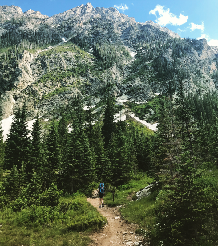
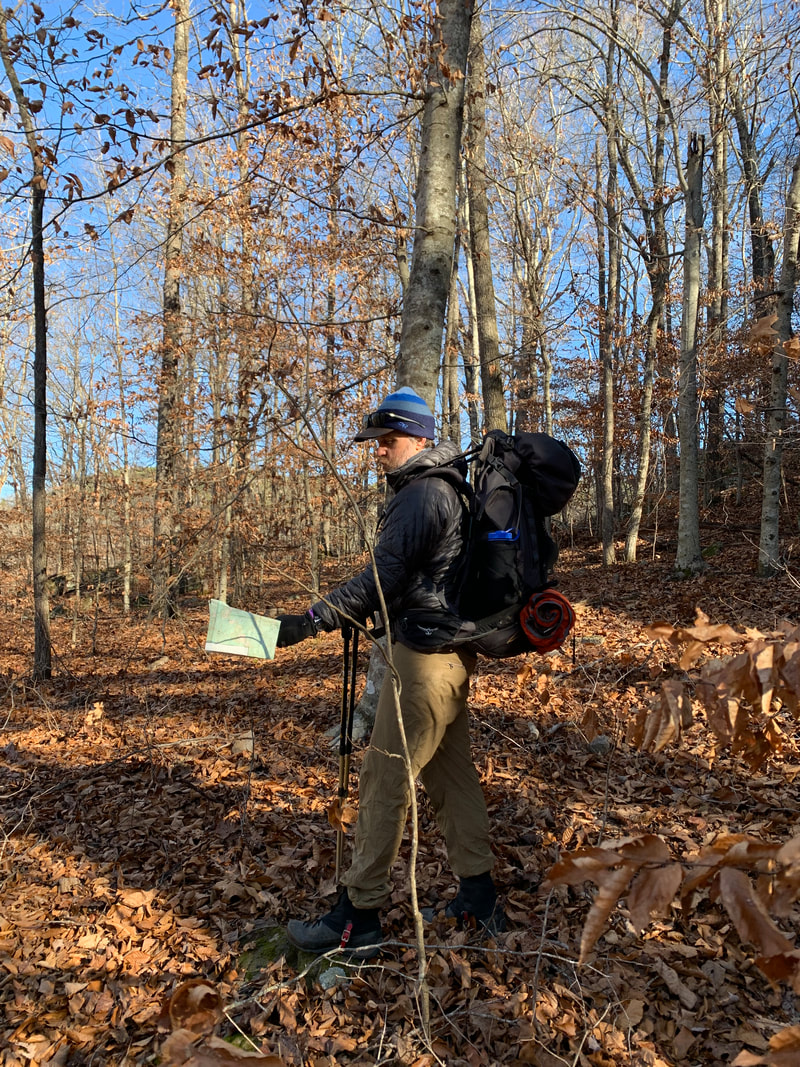
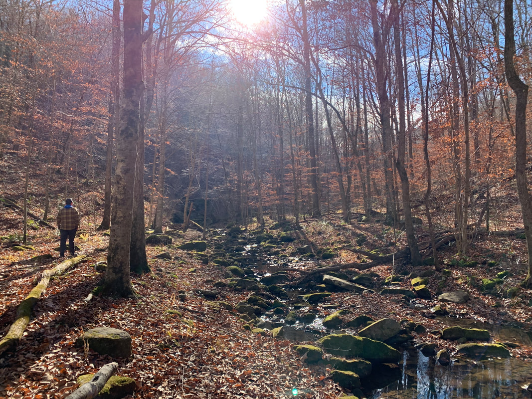
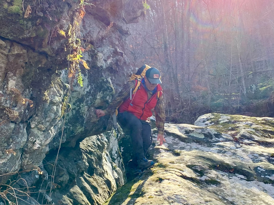
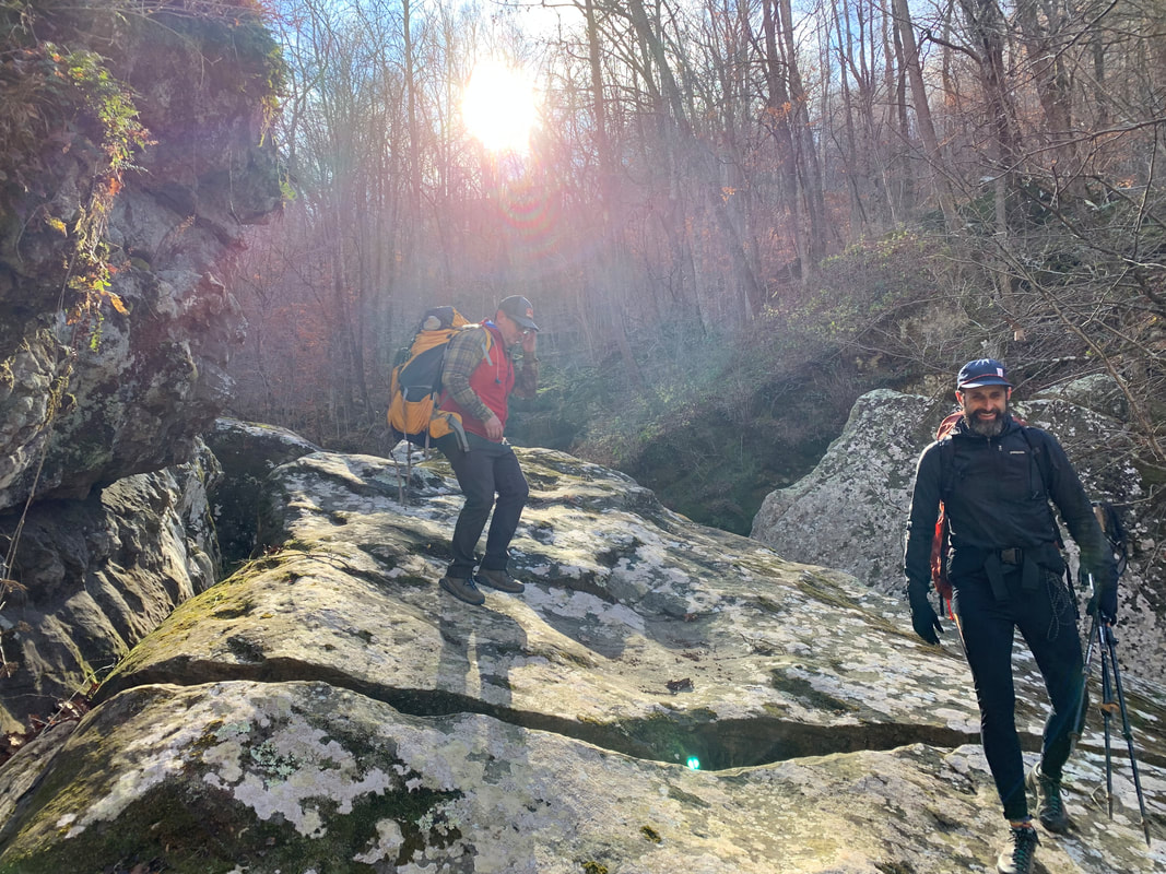
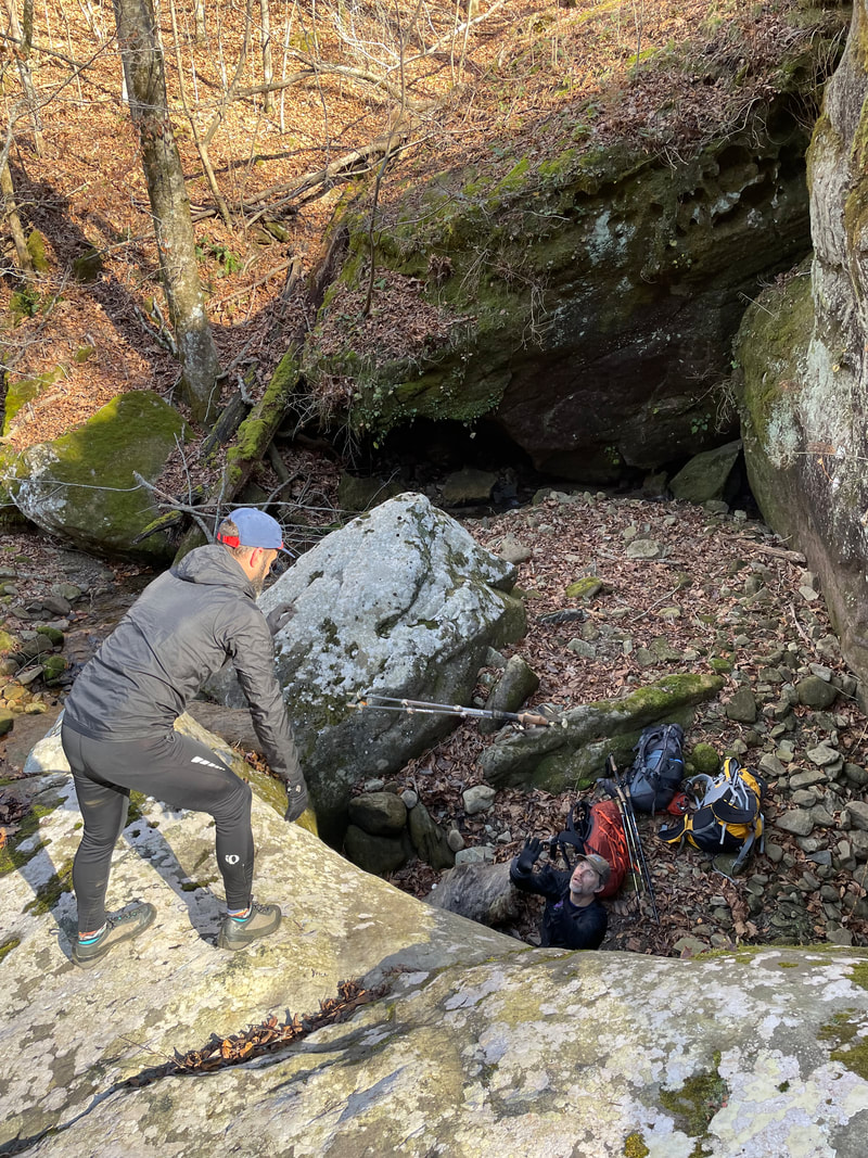
We woke to a cold morning and continued cold through out the day with full blast of sunshine. Perfect!! We packed up and started off toward Magnolia Falls, the trail ended there and we where forced to follow the cliff edge to a place where we lowered our packs down an edge and followed by sliding through the fallen fall leaves on our butts. Eventually we made our way down to the Magnolia Falls drainage, following the creek to Boen Gulf drainage where the fun really began. We navigated huge boulders, taking packs off and lowering them down boulders then scrambling down the boulders ourselves, only to be challenged by lose rock continuously, dancing on this moving surface, then being walled in and crawling up the hillside to higher ground through the woods and eventually finding the Buffalo River.
The Buffalo River was surprisingly lively. It was flowing with enough water that we couldn't follow the streambed. A quick look at the surrounding terrain identified the opposite side as the path of least resistance. We found a gametrail that lead us to Whitaker Creek. Then the search was on for the Old Homestead that was marked by a chimney and would be our campsite. Six hours from the start of the day we found the old homestead by following Whitaker Creek. The sun set and starlit skies greeted us with frigid temps that chased us to our tents after dinner.
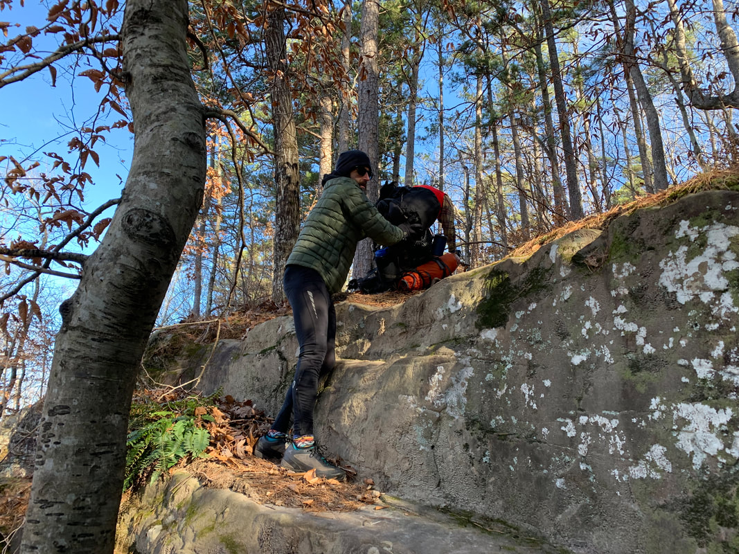
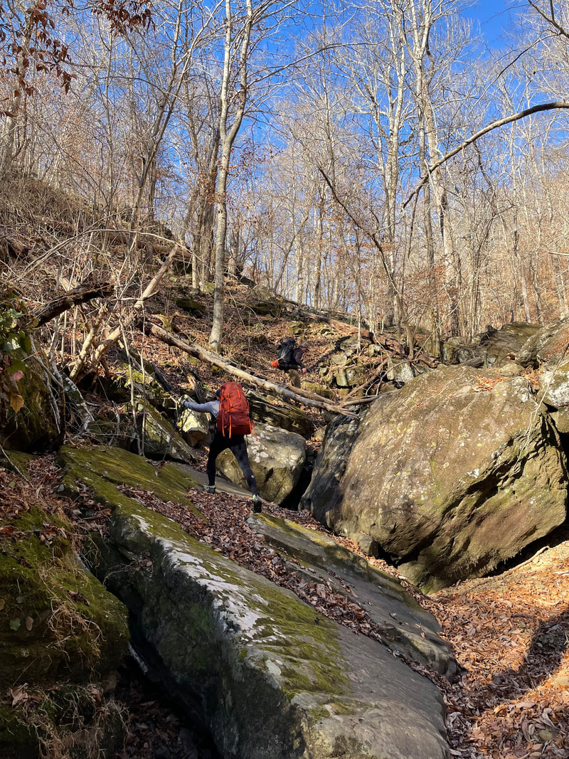
Awakening to a very cold morning, coffee was had as we watched the brilliance of the sun work its way down the cliffside to reach us! We packed our gear and worked our way up Whitaker Creek via and old trail, it quickly vanished but we stayed high on the bluff, seeking benches knowing we needed to stay to the right on lower fork. We eventually identified the confluence of Whitaker Creek and lower fork creek. We scrambled down from the bench we stood on to follow lower fork where our "out" would hopefully present itself while we made our way up the drainage. This "out" was suppose to be a notch wall that kept us from making our way out from the bench just above lower fork. Once again we did some scrambling. Following lower fork we had to make a move when a nonnegotiable boulder blocked our way and left us surrounded by wall to wall water. On hands and knees, grabbing rock and trees we worked our way out of lower fork to a bench. We followed the bench to a drainage that on the map looked like our way out. Heading up stream a 60 ft wall of rock encompassed us. Scanning the wall we saw where the land rose closer to teh edge of the wall. Upon inspection the 10 ft section had some "steps" that we could climb with packs off. We climbed and rested, looking at the map we identified what would be a jeep road to take us out. Walking through the woods we finally found the "road" that took us back to a gravel road. This took us to the Whitaker Point Trailhead where our car was parked. We celebrated in the warmth of sunshined with a beer.
We woke to a cold morning and continued cold through out the day with full blast of sunshine. Perfect!! We packed up and started off toward Magnolia Falls, the trail ended there and we where forced to follow the cliff edge to a place where we lowered our packs down an edge and followed by sliding through the fallen fall leaves on our butts. Eventually we made our way down to the Magnolia Falls drainage, following the creek to Boen Gulf drainage where the fun really began. We navigated huge boulders, taking packs off and lowering them down boulders then scrambling down the boulders ourselves, only to be challenged by lose rock continuously, dancing on this moving surface, then being walled in and crawling up the hillside to higher ground through the woods and eventually finding the Buffalo River.
The Buffalo River was surprisingly lively. It was flowing with enough water that we couldn't follow the streambed. A quick look at the surrounding terrain identified the opposite side as the path of least resistance. We found a gametrail that lead us to Whitaker Creek. Then the search was on for the Old Homestead that was marked by a chimney and would be our campsite. Six hours from the start of the day we found the old homestead by following Whitaker Creek. The sun set and starlit skies greeted us with frigid temps that chased us to our tents after dinner.
Awakening to a very cold morning, coffee was had as we watched the brilliance of the sun work its way down the cliffside to reach us! We packed our gear and worked our way up Whitaker Creek via and old trail, it quickly vanished but we stayed high on the bluff, seeking benches knowing we needed to stay to the right on lower fork. We eventually identified the confluence of Whitaker Creek and lower fork creek. We scrambled down from the bench we stood on to follow lower fork where our "out" would hopefully present itself while we made our way up the drainage. This "out" was suppose to be a notch wall that kept us from making our way out from the bench just above lower fork. Once again we did some scrambling. Following lower fork we had to make a move when a nonnegotiable boulder blocked our way and left us surrounded by wall to wall water. On hands and knees, grabbing rock and trees we worked our way out of lower fork to a bench. We followed the bench to a drainage that on the map looked like our way out. Heading up stream a 60 ft wall of rock encompassed us. Scanning the wall we saw where the land rose closer to teh edge of the wall. Upon inspection the 10 ft section had some "steps" that we could climb with packs off. We climbed and rested, looking at the map we identified what would be a jeep road to take us out. Walking through the woods we finally found the "road" that took us back to a gravel road. This took us to the Whitaker Point Trailhead where our car was parked. We celebrated in the warmth of sunshined with a beer.
| | 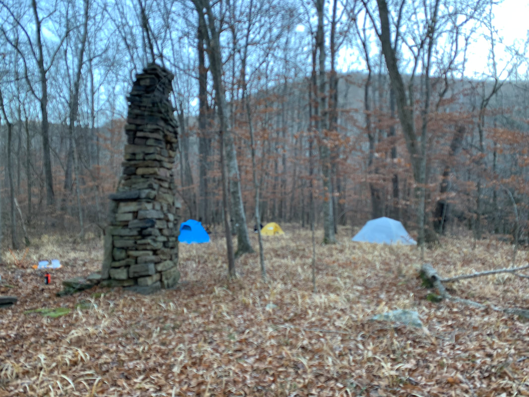 | 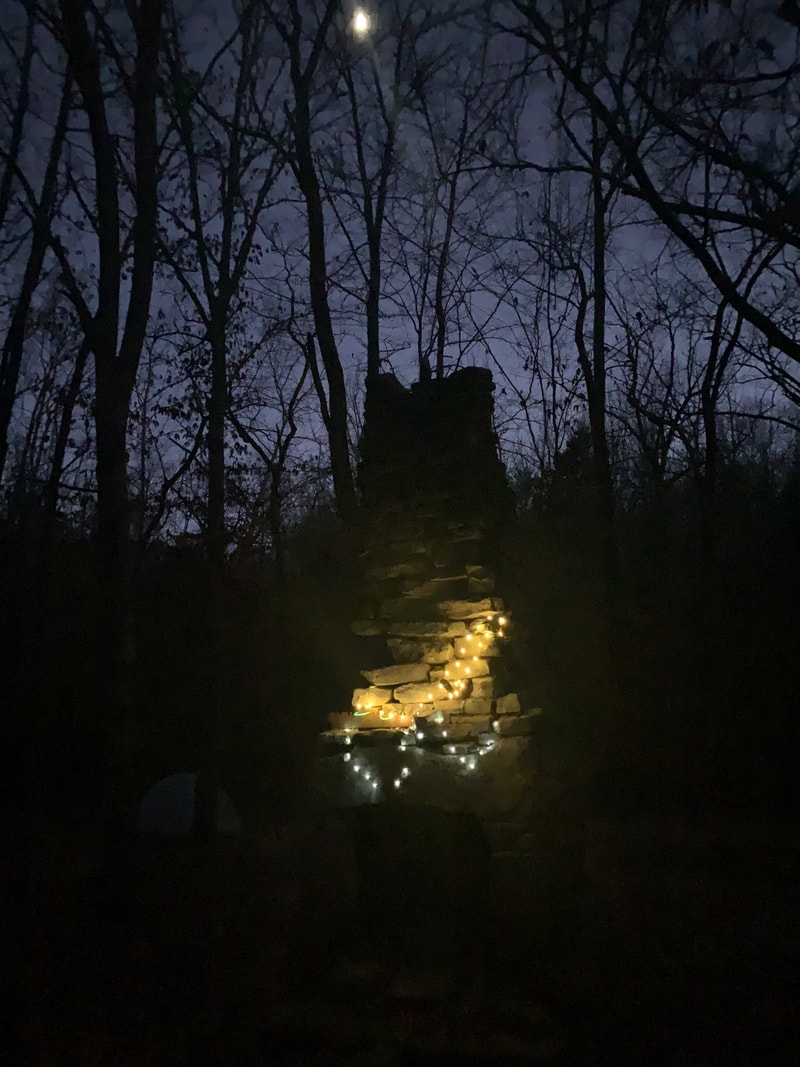 |
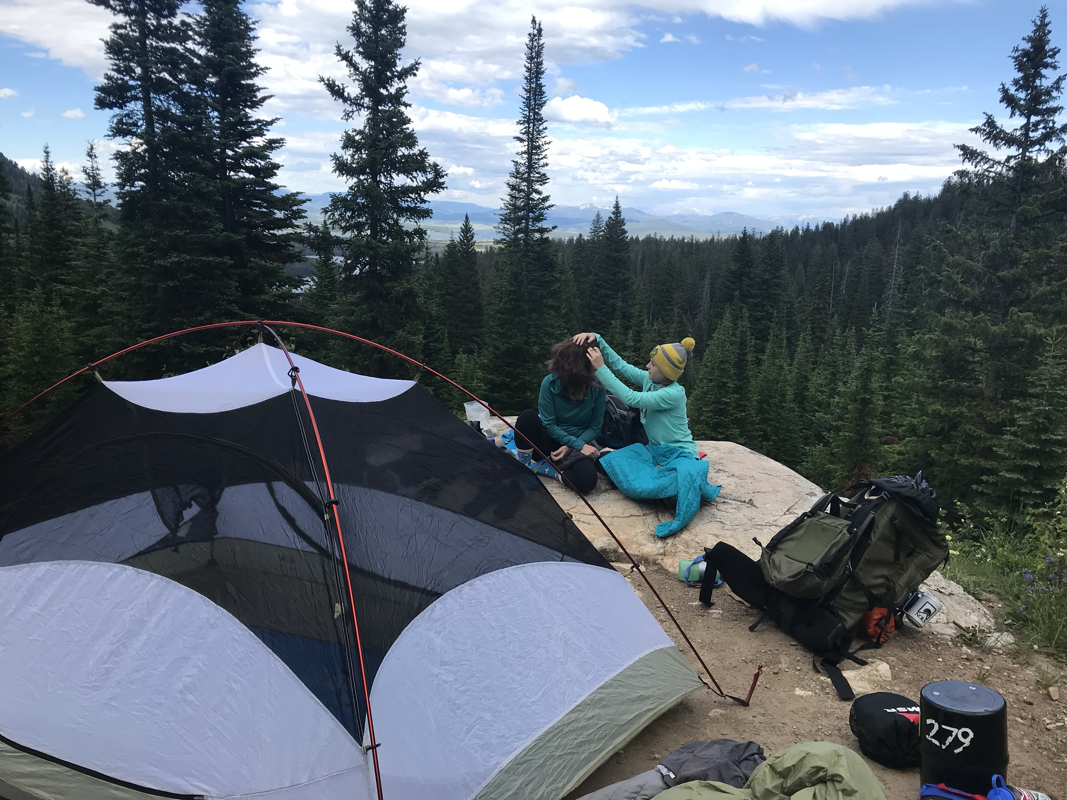
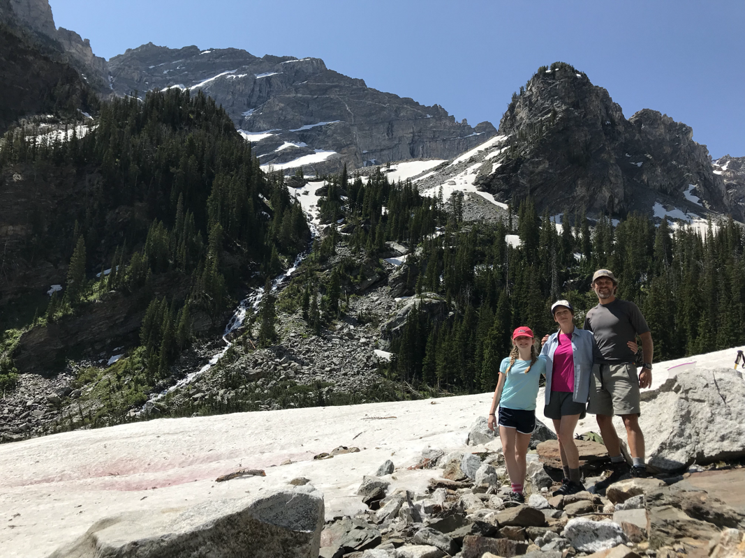
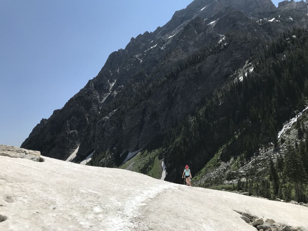
The campsite on Whitaker Creek below Whitaker point.
Lower Fork Branch
 RSS Feed