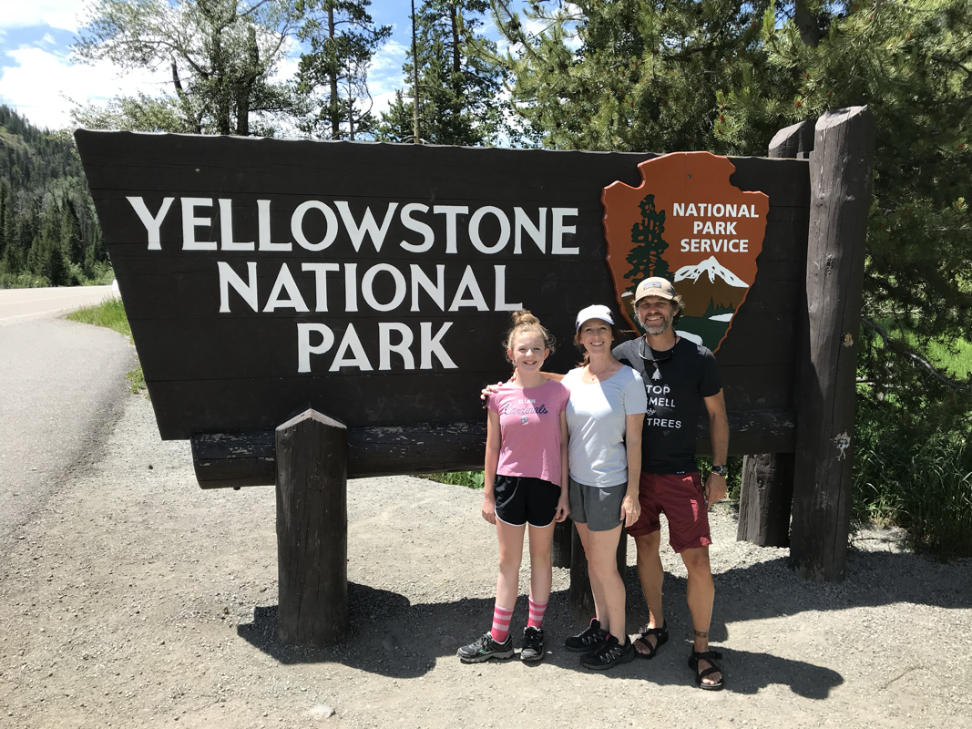


Richland Creek Wilderness Area, Arkansas. Since this is a wilderness area there aren't any "maintained" trails to traverse. I explored the Richland Creek Wilderness with some friends about two years ago. We followed a trail that was hard to follow, but helped with some navigation, the majority of it stuck to the edges of the water and made for some easy travel, this time was different.
We traveled through some intense rain on our way to Richland Creek Campground, our goal was to set up camp before midnight. We hit an intersection in Snowball and my buddy, Kyle suggested we take a "shortcut", sure, what could go wrong. So in the spirit of adventure we head up a hill on a gravel road. I engaged the subaru and double timed the windshield wipers to disperse the rain that continued it's humdrum song on the roof of my car. As we climbed an Ozark mountain we became engulfed in fog so thick that I had to find my foglights, you couldn't see anything. A couple of stream crossings on the downhill and Voila! A long stretch of water (not moving) that had no way to tell how deep it was stretched across the country road.. I ventured in slightly, door open, marking the depth with my hand. Kyle volunteered to Chaco up and be the depth gauge, walking through the water as I followed. We made it! Only to reach a hard flowing stretch of water that submerged our road with a raging fit of noise and turbulence. Sooo.... We backtracked to the highway and found our way to Richland Creek Campground. Kyle and I chatted as the rain fell and decided to set up camp and the campground, then start hiking the following day.
The storm came and went throughout the night. By daylight it was evident that we wouldn't be crossing the creek and a decision was made to take the bridge near the campground and begin our cross country trek using map and compass.
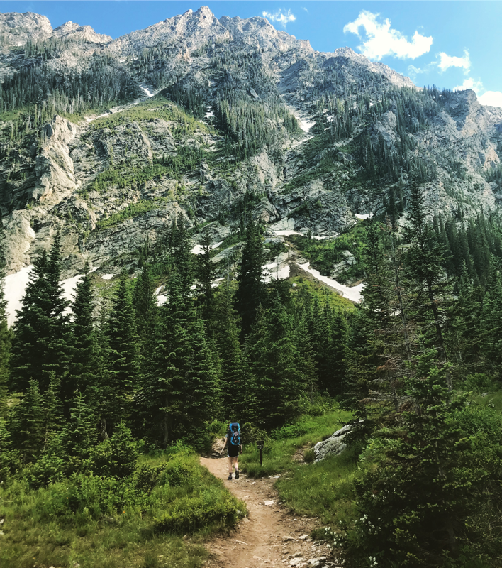
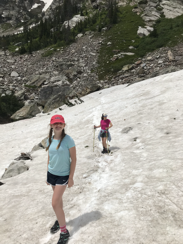
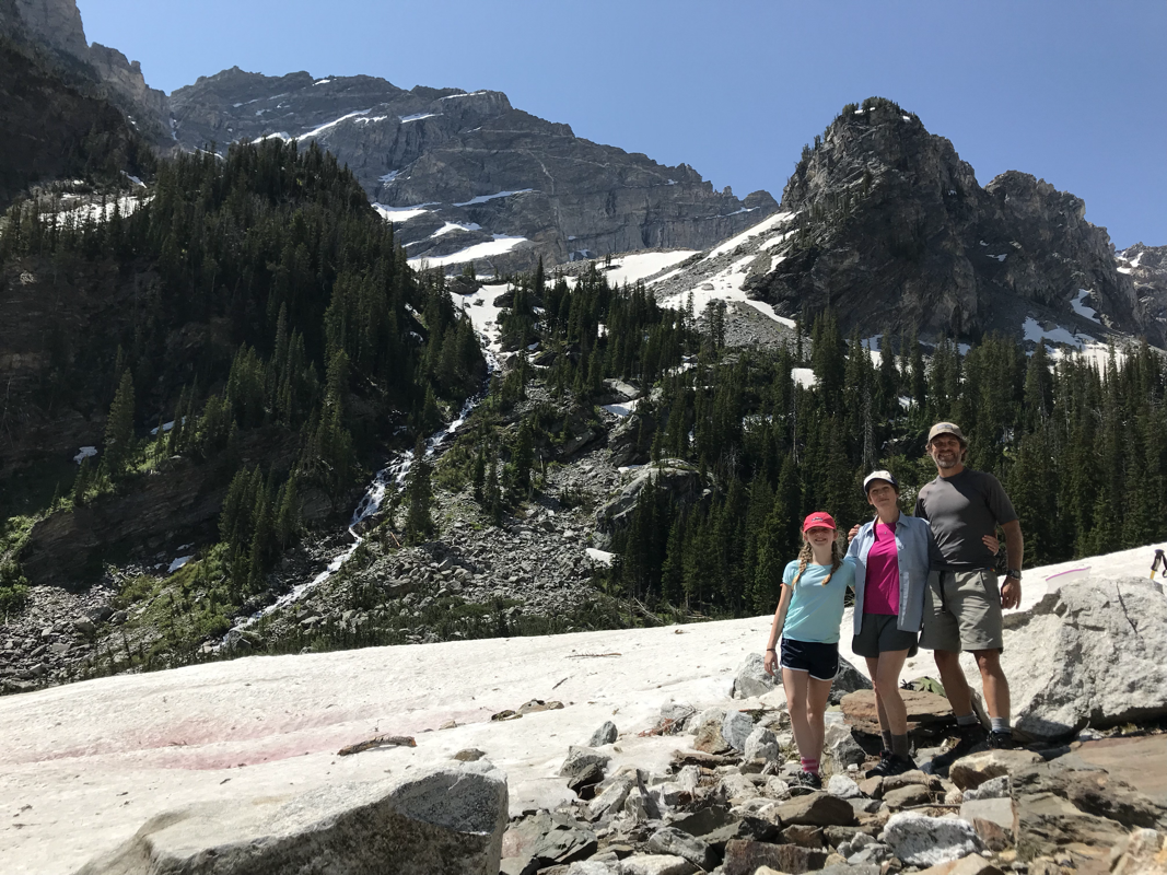
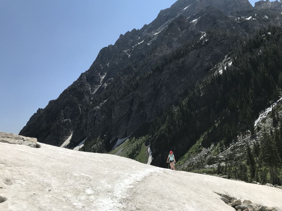
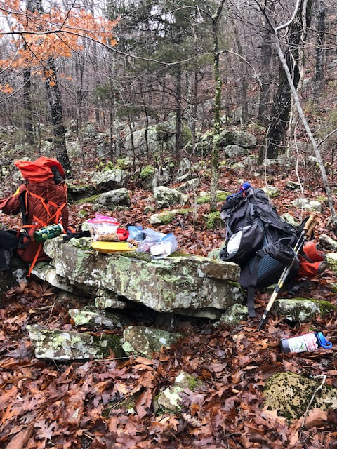
We crossed the bridge, found a shelf and began your regular map and compass traverse. The ground was soggy, slick, and covered with leaves, Due to the creek flowing with great force, we couldn't drop down to the trail we'd traversed a couple of years ago, we had to stay higher on the ridge, this forced us to navigate on very steep terrain and small boulder covered shelves. The boulders were wet and covered with moss, making things slick as snot; and the spaces between the boulders were leaf covered, sometimes hiding deep holes in the ground. We navigated this terrain for about 1- 1.5 miles, with full packs on. Dangerous and slow was the name of the game. This lead to up to a scramble where I was on hands and knees with a full pack, scrambling up a hill. A quick lunch and look at the map lead to a plan of action that produced more of the same.
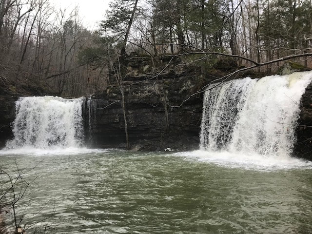
Finally, with tired legs, we saw the confluence of Long Devils Fork and Richland Creek. Next, we saw three rafts make their way into this confluence and stop at and established campsite across the creek from us. Some quick waves from the local paddlers and a thumbs up gave notice that we were ok. At this point, we were very near our destination of Twin Falls and the water was easing. We started up the creek toward the falls, even traversing a wet rock ledge a few feet above the creek with out much room to move, a few handholds and water dropping onto us from the ledge above. this lead to a beautiful view of the falls where Long Devil's Fork and Big Devil's Fork met to create the twin falls. Without anywhere to go we found ourselves in a dead end and we began to prepare for a wet crossing. The flow of the water was still intense so we pursued plan B, and decided to climb the steep hillside. Once again, I was on hand and knees, sliding down a precarious slope and reaching for roots, rocks and anything solid to stop the slide.
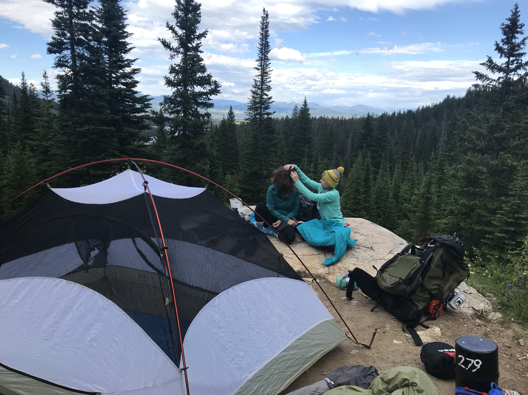
Standing above twin falls and our campsite in view across Big Devil's Fork, we began looking for a safe place to dip our toes into the cold water without being swept over the waterfall. Donning our Chacos and unbuckled packs on we made our way across the drainage on to our campsite. We slept well to the sound of roaring water.
We traveled through some intense rain on our way to Richland Creek Campground, our goal was to set up camp before midnight. We hit an intersection in Snowball and my buddy, Kyle suggested we take a "shortcut", sure, what could go wrong. So in the spirit of adventure we head up a hill on a gravel road. I engaged the subaru and double timed the windshield wipers to disperse the rain that continued it's humdrum song on the roof of my car. As we climbed an Ozark mountain we became engulfed in fog so thick that I had to find my foglights, you couldn't see anything. A couple of stream crossings on the downhill and Voila! A long stretch of water (not moving) that had no way to tell how deep it was stretched across the country road.. I ventured in slightly, door open, marking the depth with my hand. Kyle volunteered to Chaco up and be the depth gauge, walking through the water as I followed. We made it! Only to reach a hard flowing stretch of water that submerged our road with a raging fit of noise and turbulence. Sooo.... We backtracked to the highway and found our way to Richland Creek Campground. Kyle and I chatted as the rain fell and decided to set up camp and the campground, then start hiking the following day.
The storm came and went throughout the night. By daylight it was evident that we wouldn't be crossing the creek and a decision was made to take the bridge near the campground and begin our cross country trek using map and compass.
We crossed the bridge, found a shelf and began your regular map and compass traverse. The ground was soggy, slick, and covered with leaves, Due to the creek flowing with great force, we couldn't drop down to the trail we'd traversed a couple of years ago, we had to stay higher on the ridge, this forced us to navigate on very steep terrain and small boulder covered shelves. The boulders were wet and covered with moss, making things slick as snot; and the spaces between the boulders were leaf covered, sometimes hiding deep holes in the ground. We navigated this terrain for about 1- 1.5 miles, with full packs on. Dangerous and slow was the name of the game. This lead to up to a scramble where I was on hands and knees with a full pack, scrambling up a hill. A quick lunch and look at the map lead to a plan of action that produced more of the same.
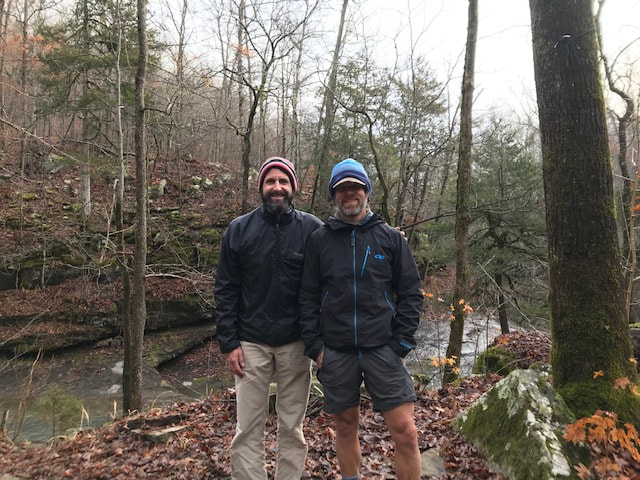
Finally, with tired legs, we saw the confluence of Long Devils Fork and Richland Creek. Next, we saw three rafts make their way into this confluence and stop at and established campsite across the creek from us. Some quick waves from the local paddlers and a thumbs up gave notice that we were ok. At this point, we were very near our destination of Twin Falls and the water was easing. We started up the creek toward the falls, even traversing a wet rock ledge a few feet above the creek with out much room to move, a few handholds and water dropping onto us from the ledge above. this lead to a beautiful view of the falls where Long Devil's Fork and Big Devil's Fork met to create the twin falls. Without anywhere to go we found ourselves in a dead end and we began to prepare for a wet crossing. The flow of the water was still intense so we pursued plan B, and decided to climb the steep hillside. Once again, I was on hand and knees, sliding down a precarious slope and reaching for roots, rocks and anything solid to stop the slide.
Standing above twin falls and our campsite in view across Big Devil's Fork, we began looking for a safe place to dip our toes into the cold water without being swept over the waterfall. Donning our Chacos and unbuckled packs on we made our way across the drainage on to our campsite. We slept well to the sound of roaring water.
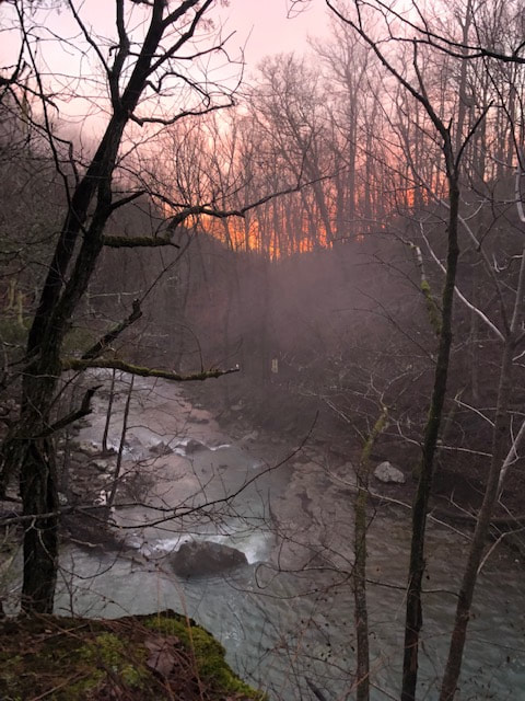
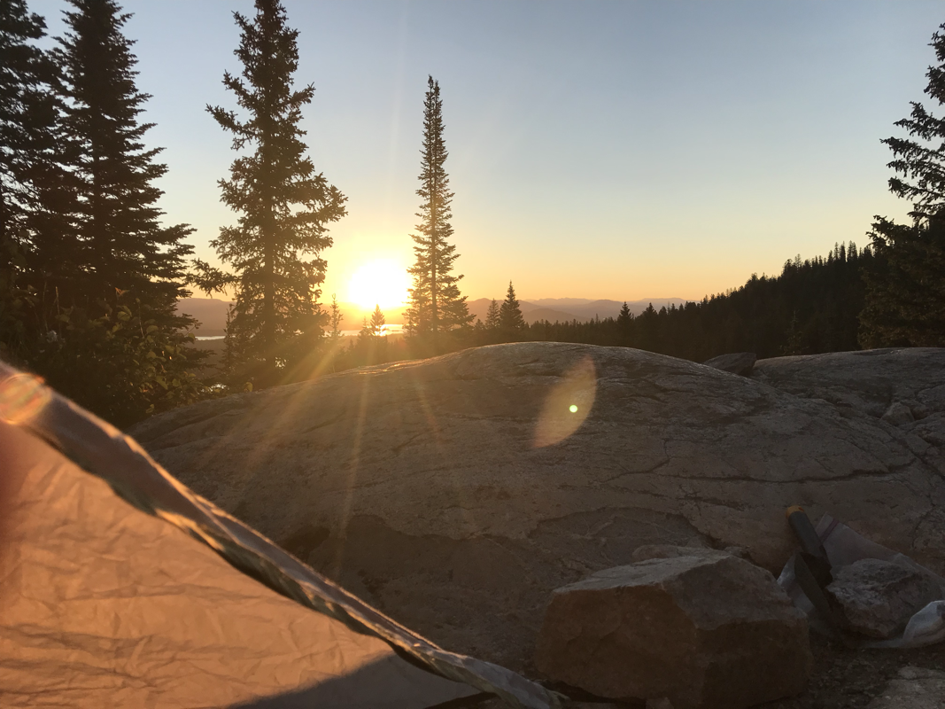
A chili morning with mist rising from the thundering falls created an orange sunrise amongst the moist air. My tent and sleeping bag are heavy with condensation. The totality of sleeping between two waterfalls.
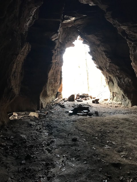
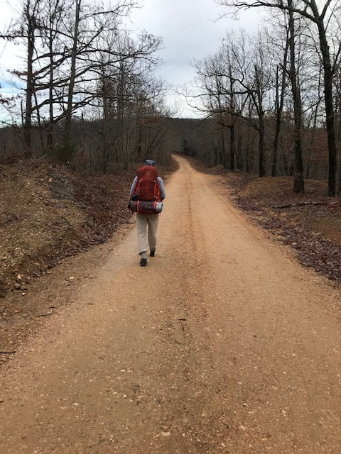
We looked at the map once more while firing up the stoves and taking in some coffee. We decided to return to Richland Creek Campground by heading past the Sandstone Castles, then walking out a well used trail to the gravel road that surrounds the wilderness area. It was interesting to find these "Castles" carved out in the cliffs. There were a few that could hold a some tents, but had water on the floor. Our 12 mile walk back to the campground was worth avoiding the stone filled traps that we'd navigated the previous day. Yes, We will be back.
We looked at the map once more while firing up the stoves and taking in some coffee. We decided to return to Richland Creek Campground by heading past the Sandstone Castles, then walking out a well used trail to the gravel road that surrounds the wilderness area. It was interesting to find these "Castles" carved out in the cliffs. There were a few that could hold a some tents, but had water on the floor. Our 12 mile walk back to the campground was worth avoiding the stone filled traps that we'd navigated the previous day. Yes, We will be back.

 RSS Feed